Traced sectors and enclosures
Draw your actual site over your own reference imagery, with an illustrated master layer for the public-facing view.
Traced sectors and enclosures over your own site imagery, with the infrastructure that matters pinned where it actually is.
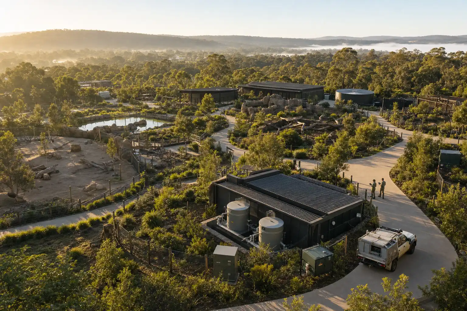
An illustrated master layer, plant safety zones, and GPS-pinned water shutoffs, electrical panels, cameras, attractions, and vehicles. Each one carries an operational status and a signed inspection history.
Draw your actual site over your own reference imagery, with an illustrated master layer for the public-facing view.
Pin infrastructure on your site map, then check positions against your team’s site knowledge and the accuracy of the device.
Every asset carries an operational status and a record of who inspected it and when.
The whole site in one view, including the parts visitors never see.
Where the cameras are and what they look at.
See open work where it is happening rather than as a list of room numbers.
Which plantings sit near which animals, and which of them are a problem.
Rides, service vehicles, and the infrastructure that keeps them running.
Inspection schedules and their history, attached to the asset itself.
We will walk through sectors, enclosures, infrastructure pins, and inspection history against your site.
Book a demo